Where our data comes from
Every metric on PropertyMetrics NZ is powered by trusted, official New Zealand government datasets — the same sources used by banks, councils, and regulators.
Six trusted datasets, one platform
Every number you see is traceable to an official source. No estimates from third-party aggregators — just raw government data, processed and combined.
Property parcel boundaries, title numbers, legal descriptions, land area and ownership data. The authoritative source for all NZ property title information.
Tenancy bond data used to calculate market rent estimates by suburb, bedroom count and property type across all of New Zealand.
2023 Census data providing suburb-level population, age distribution, income, employment and housing tenure information for every NZ neighbourhood.
Earthquake activity data within 300 km of any property, used to calculate seismic safety scores and risk ratings critical for NZ property due diligence.
School enrolment zone boundaries for primary and secondary schools near any NZ address — essential for family-focused investment analysis. Note: school decile ratings were abolished in 2023 and replaced with the Equity Index; we display zone boundaries and school type only.
Point-of-interest data used to calculate walkability scores — cafes, supermarkets, schools, parks, transport and more within walking distance of any property.
NZ-wide coverage, with a home base in Tauranga
Our platform covers every corner of New Zealand — from Northland to Southland. PropertyMetrics NZ was built in Mount Maunganui, and the Bay of Plenty remains our most detailed and actively maintained region.
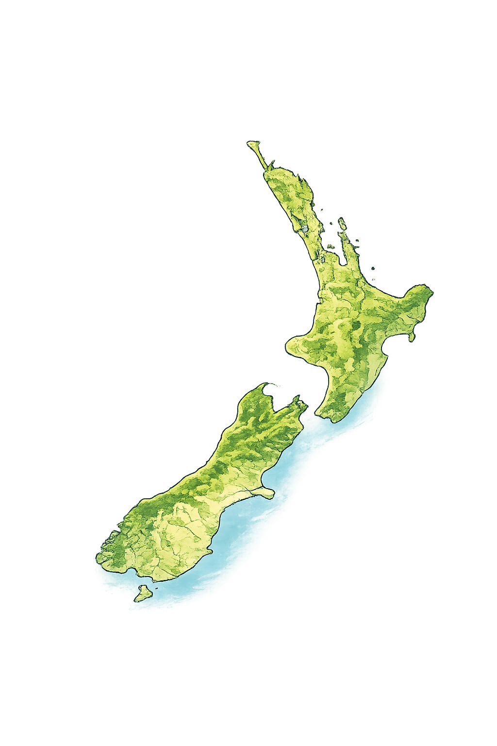
Our platform is 100% powered by official, publicly available government data — the same sources used by banks, councils, and professional investors. No black-box estimates. No third-party aggregators.
Attributions & licences
PropertyMetrics NZ uses data from the sources below under their respective open licences. We are an independent platform and are not affiliated with, endorsed by, or acting on behalf of any of these providers. Where data has been aggregated, derived or combined, any errors are our own and not those of the original providers.
- Land Information New Zealand (LINZ) — property parcels, titles, addresses, aerial imagery and the 8 m digital elevation model. Contains data sourced from LINZ and licensed for re-use under the Creative Commons Attribution 4.0 International licence (CC BY 4.0).
- Stats NZ — 2023 Census measures and Statistical Area 2 boundaries. Source: Stats NZ, licensed by Stats NZ for re-use under CC BY 4.0.
- GeoNet / GNS Science — earthquake catalogue. Data sourced from GeoNet (GNS Science) and licensed under CC BY 4.0.
- MBIE — tenancy bond / market rent statistics, sourced from the Ministry of Business, Innovation & Employment.
- Ministry of Education — school enrolment scheme (home zone) boundaries, sourced from the Ministry of Education.
- Council open data — flood hazard, planning zone and liquefaction layers sourced from the relevant territorial and regional councils (including Auckland Council and Greater Wellington Regional Council) under their open-data terms.
- OpenStreetMap — nearby amenities. © OpenStreetMap contributors, available under the Open Database Licence (ODbL).
- Elevation — point elevation and slope derived from the LINZ 8 m DEM (CC BY 4.0), served via OpenTopoData.
- LINZ Basemaps — aerial imagery and topographic basemap tiles. Sourced from LINZ Basemaps and licensed under CC BY 4.0.