Have a question?
We're here to help.
Contact Us →
Transparency

Where our data comes from

Every metric on PropertyMetrics NZ is powered by trusted, official New Zealand government datasets — the same sources used by banks, councils, and regulators.
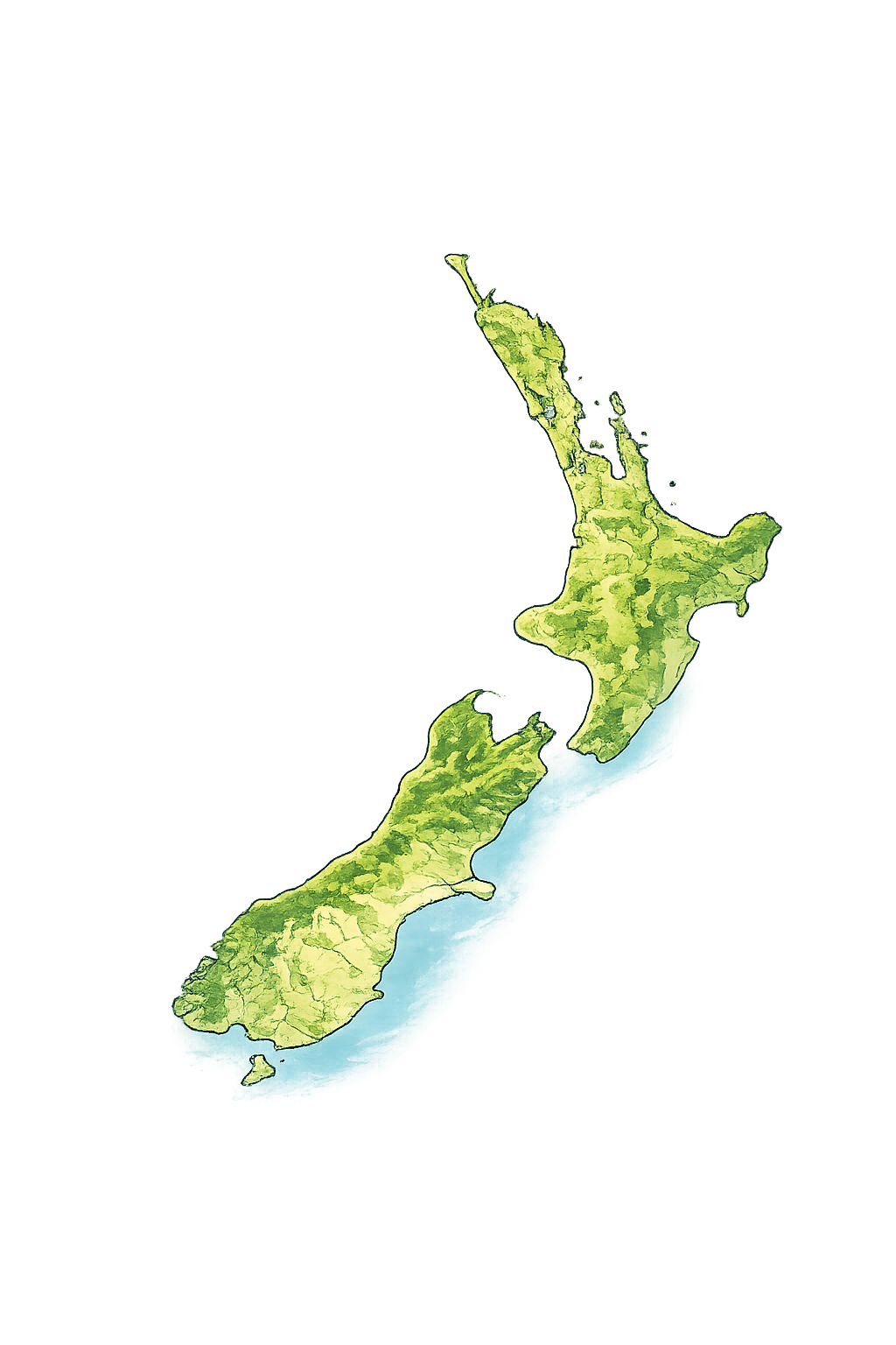
New Zealand coastline
Sources
6+ Government
Coverage
All of New Zealand
Updates
Updated Regularly
Type
Official Public Data
Our Sources

Six trusted datasets, one platform

Every number you see is traceable to an official source. No estimates from third-party aggregators — just raw government data, processed and combined.

Property & Title
LINZ — Land Information New Zealand

Property parcel boundaries, title numbers, legal descriptions, land area and ownership data. The authoritative source for all NZ property title information.

Used for
Title lookup Parcel boundaries Land area Ownership records
High reliability · Near real-time

We match entered addresses to official LINZ title records, pulling accurate land area, legal descriptions, and title numbers. This data underpins property identification across every tool on the platform.

Rental Data
MBIE — Ministry of Business, Innovation & Employment

Tenancy bond data used to calculate market rent estimates by suburb, bedroom count and property type across all of New Zealand.

Used for
Market rent estimates Suburb benchmarks Yield calculations
High reliability · Quarterly updates

MBIE collects tenancy bond data every time a new rental agreement is lodged. We aggregate this by suburb and bedroom count to produce the market rent estimates used in yield and cash flow calculations.

Demographics
Stats NZ — Statistics New Zealand

2023 Census data providing suburb-level population, age distribution, income, employment and housing tenure information for every NZ neighbourhood.

Used for
Population data Income levels Age distribution Housing tenure
High reliability · 2023 NZ Census

2023 Census data is matched to property suburbs to surface neighbourhood demographics. This helps investors understand rental demand drivers, tenant profiles, and long-term growth indicators for any area.

Seismic Risk
GeoNet — GNS Science

Earthquake activity data within 300 km of any property, used to calculate seismic safety scores and risk ratings critical for NZ property due diligence.

Used for
Seismic risk score Earthquake history Risk ratings
High reliability · Near real-time

We query the GeoNet earthquake catalogue to find all significant seismic events within 300 km of any property over the past 10 years, and compute a seismic risk score weighted by magnitude and proximity.

Schools
MoE — Ministry of Education

School zone boundaries and decile ratings for primary and secondary schools near any NZ address — essential for family-focused investment analysis.

Used for
School zones Decile ratings Nearby schools
High reliability · Annual updates

Ministry of Education zone boundary data lets us identify which schools service any NZ address — including zone eligibility, decile levels, and school type — helping investors understand the rental appeal of a property to families.

Amenities
OpenStreetMap

Point-of-interest data used to calculate walkability scores — cafes, supermarkets, schools, parks, transport and more within walking distance of any property.

Used for
Walkability score POI density Transit proximity
Community maintained · Continuously updated

OSM point-of-interest data is used to calculate walkability scores by counting cafes, supermarkets, parks, schools and transport nodes within a 750 m and 1.5 km radius, weighted by category importance for renters.

Data Coverage

NZ-wide coverage, with a home base in Tauranga

Our platform covers every corner of New Zealand — from Northland to Southland. PropertyMetrics NZ was built in Mount Maunganui, and the Bay of Plenty remains our most detailed and actively maintained region.

Tauranga / Mt Maunganui — Primary focus & home region
Auckland — Full market coverage
Wellington — Full market coverage
Christchurch — Full market coverage
New Zealand map
Built using trusted New Zealand datasets

Our platform is 100% powered by official, publicly available government data — the same sources used by banks, councils, and professional investors. No black-box estimates. No third-party aggregators.

Ask about our data →